


FHWA Monitoring States' Progress on Modernizing Roadway Inventory Data

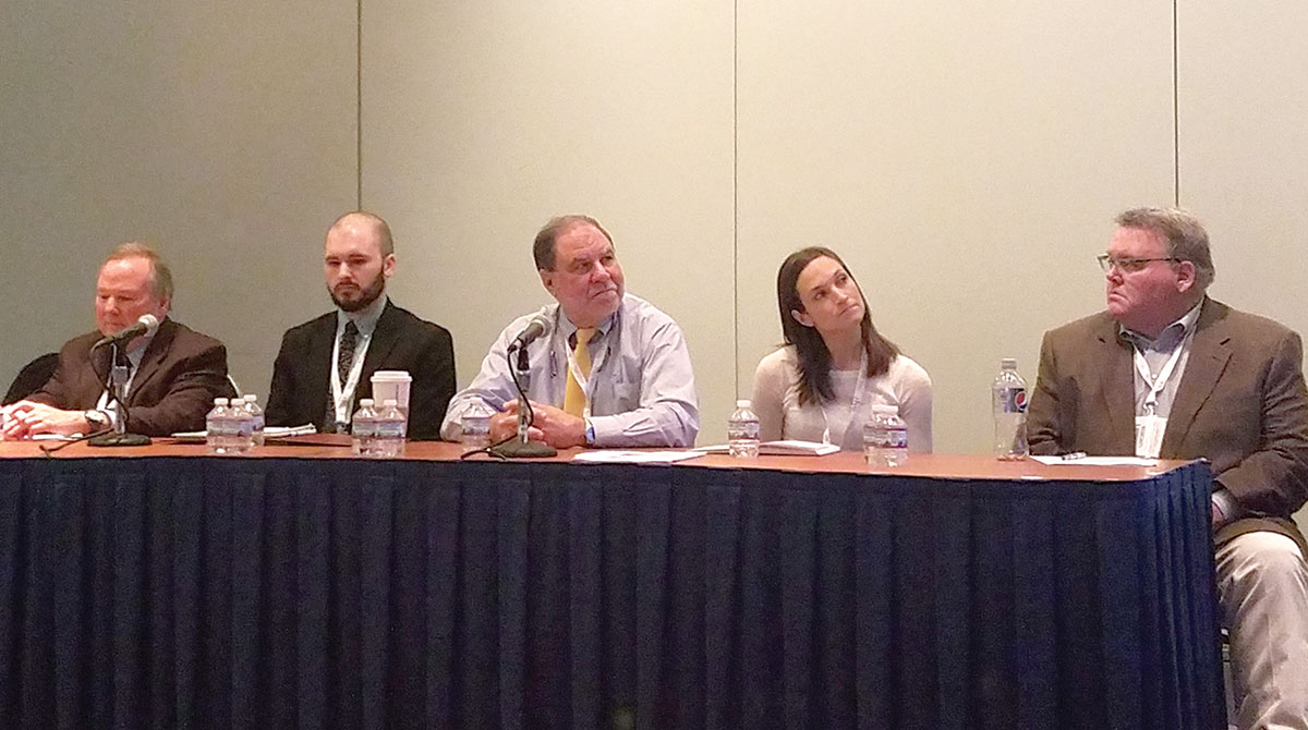
Panelists (from left) Robert Pollack of FHWA, William Staats of Kentucky Transportation Cabinet, Daniel Magri of Louisiana Department of Transportation and Planning, Adriane McRae of LDTP and James Appleton of California Department of Transportation (Eric Miller/Transport Topics
WASHINGTON — Back in 2016, the Federal Highway Administration gave states a 10-year window to modernize their data collection systems to help better pinpoint hot spots for accidents and congestion on their roads. Nearly two years into the project, it appears that the decadelong grace period was a good idea.
The update to the existing Model Inventory of Roadway Elements program effectively requires states to digitize every mile of their roadways, intersections, interchanges and ramps so usage data can be better integrated. And states and FHWA are finding their way through the effort.
“This is kind of new territory for us in that states are going to be expected to collect particular MIRE data elements,” Robert Pollack, an official with the FHWA Office of Safety, said during a Jan. 10 session at the 2018 Transportation Research Board annual meeting. “The MIRE data elements that states are going to be expected to collect will allow them to generate expected crash frequencies with specific localities based on the roadway characteristics and the traffic volumes.”
FHWA Analysis Tools
The agency wants states to have the capability to use FHWA analysis tools such as SafetyAnalyst and the Interactive Highway Safety Design Model, and other procedures identified in the agency’s Highway Safety Manual.
“The MIRE provides a structure for roadway inventory data that will allow state and local transportation agencies to use these analysis tools with their own data rather than relying on default values that may not reflect local conditions,” FHWA said on its website. “As the need for roadway inventory information has increased, new and more efficient technologies to collect roadway inventory information have emerged. However, the collected data still need a framework for the common sharing of the information.”
Pollack said the MIRE elements are guidelines for states, not requirements.
“They don’t have to report it to us. They just have to have it and use it,” he said. “It’s basically a compilation of information that would be useful in making determinations on the relative safety of roadways.”
Still, there are growing pains.
Challenges Exist
James Appleton, chief of the division of research, innovation and system information for the California Department of Transportation, told session attendees that coordination among Caltrans’ divisions on the effort has been challenging.
“We’re still in the preparation stages, working out internally in the department who has what responsibility relative to MIRE,” Appleton said. “Our state, for one, is certainly appreciative of the lengthy timeframe given for collection. It’s going to be a significant challenge for us.”
“I’m not sure we’re going to present more successes than challenges because we have collected the MIRE data on all of our public network,” said Daniel Magri, a deputy assistant secretary with the Louisiana Department of Transportation and Planning, and panel member at the session. “So now we have all this data, and what do you do with it?”
Adriane McRae, a highway safety engineer with the Louisiana DOTP, added that there is a lot of MIRE data to collect and analyze, but staff is limited.
“There are still some challenges, but we’ve come a long way with our state routes and the safety arena,” McRae said. “We want to do the same thing with the local routes. We have a state track, where we have more data, and we have the local track. It would be so nice if we had one consistent across-the-board language so that we could talk to all of these people.”
McRae added, “We do see challenges and opportunities ahead as we go forward.”